
Appalachian Backroads vs. Blue Ridge Parkway: Two Very Different Mountain Experiences
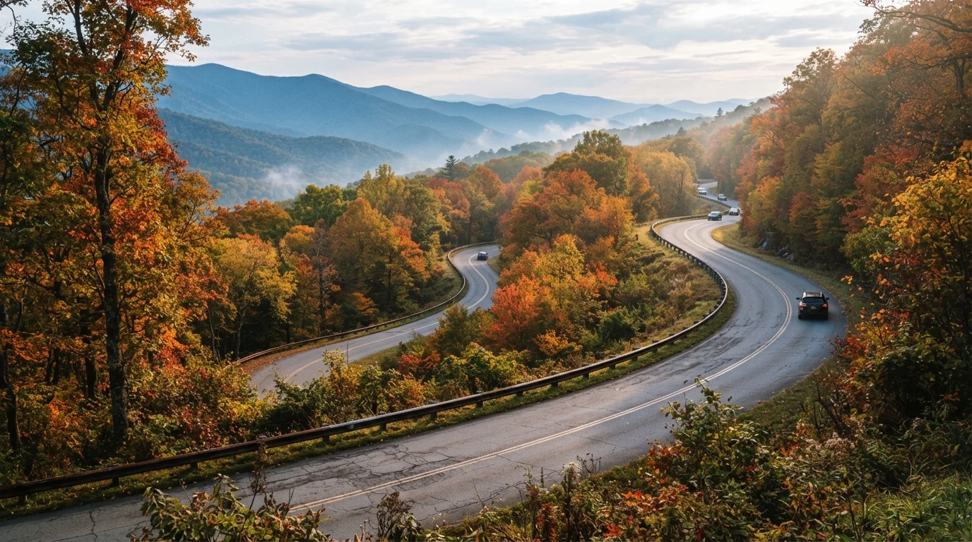
Photo credit: ExploreRoute.net | Travel Made Simple
In this article
The Blue Ridge Parkway is iconic — but the unmarked county roads threading the same mountains offer something entirely different.
Key Takeaways
- The Blue Ridge Parkway offers consistent scenery and infrastructure; backroads offer unpredictability and authenticity.
- Backroad routes require more navigation confidence and trip planning than the Parkway's linear structure.
- The Parkway prohibits commercial traffic; backroads integrate fully with working mountain communities.
- Fuel, cell service, and road conditions vary far more dramatically on unmarked county routes.
- Both experiences reward patience — but they reward it with very different things.
The Parkway's Promise — and Its Design
Stretching 469 miles from Shenandoah National Park in Virginia to Great Smoky Mountains National Park in North Carolina, the Blue Ridge Parkway was designed with a singular vision: to deliver an uninterrupted scenic experience. No stoplights. No billboards. No commercial trucks. The road was engineered to flow with the terrain, arcing through tunnels and across stone viaducts while keeping elevations consistent enough for leisurely driving.
That design discipline is both its greatest strength and its most defining limitation. The Parkway exists slightly apart from the mountain communities below it — deliberately so. Fuel stations and lodges are spaced many miles apart, and seasonal closures due to ice or fog can affect large stretches without much warning. Our guide to what surprises first-time Parkway drivers covers those quirks in detail. What you get in exchange for that isolation is something genuinely rare: 469 miles where the only agenda is the view.
| Criterion | Appalachian Backroads | Blue Ridge Parkway |
|---|---|---|
| Route structure | Unstructured network of roads | Single 469-mile linear corridor |
| Navigation difficulty | High — maps and preparation required | Low — mileposts and clear signage |
| Fuel availability | Variable, sometimes sparse | Limited; plan stops in advance |
| Cell service | Frequently absent | Patchy but slightly more consistent |
| Commercial traffic | Present — trucks, farm vehicles | Prohibited |
| Community immersion | High — passes through working towns | Low — intentionally separated |
| Scenery type | Intimate, ground-level, varied | Panoramic, elevated, consistent |
| Road surface quality | Ranges from smooth to rough | Generally well-maintained |
What Appalachian Backroads Actually Are
There is no single "Appalachian Backroads" route — that's precisely the point. The term describes the dense web of state routes, county roads, and Forest Service roads that wind through the same mountain range but serve actual communities: coal and timber towns, river-valley farms, county seats with working courthouses. Routes like Virginia's Route 16 through Tazewell County or North Carolina's Highway 197 into Burnsville carry school buses and tractors alongside the occasional curious traveler.
Unlike the Parkway, these roads intersect with real commercial life. You'll stop at a gas station that's also a bait shop. You'll cross bridges built decades before the National Park Service existed. Pavement quality varies, cell service drops reliably, and GPS often lags behind the actual road. That friction is part of the experience — and it's why backroad driving demands a different mindset. For more on what separates this style of travel from the interstate, see our piece on America's forgotten blue highways.
469 mi
Total length of the Blue Ridge Parkway
The National Park Service manages the Parkway as the longest linear park in the United States.
~15 mph
Average backroad driving speed in mountainous terrain
Tight switchbacks, livestock crossings, and unpaved sections routinely reduce safe travel speed on Appalachian county roads.
30+
States with Appalachian mountain road networks
The Appalachian range spans from Alabama to Maine, with hundreds of unmarked county and state routes threading its communities.
How the Two Experiences Diverge on the Ground
On the Parkway, the landscape is the foreground. Ridgeline after ridgeline unfolds at every pull-off, and the lack of commercial traffic keeps the atmosphere contemplative. You share the road with cyclists, other road trippers, and the occasional ranger vehicle. The experience is consistent in a way that's reassuring — you know roughly what the next twenty miles will feel like.
On backroads, you're embedded in the landscape rather than elevated above it. A route like the Cherohala Skyway in Tennessee and North Carolina straddles the line between both worlds — maintained and marked, but far less trafficked than the Parkway, with abrupt elevation changes and views that haven't been buffered for comfort. Deeper county routes drop into coves and hollows where the mountains close in, creeks run alongside the road for miles, and the scenery is intimate rather than panoramic.
The comparison shares DNA with our broader look at the Parkway versus Skyline Drive — different corridors through the same spine of mountains, each shaped by distinct intentions. Backroads add a third layer to that conversation: roads shaped by no intention except to connect one community to the next.
Road and weather conditions can change quickly in the mountains. Always check current route status, carry paper maps as a backup, and inform someone of your planned route before heading into areas with limited connectivity.

Author
Road Trip Culture Editorial Team
Road Trip Culture Editorial Team is the collective byline for our editorial team and contributor network. Articles published under this byline or an editorial pen name are researched, written, and reviewed according to our editorial standards for clarity, consistency, and independence before publication.
View all articles →