
America's Forgotten Blue Highways: What Makes Backroad Travel Different
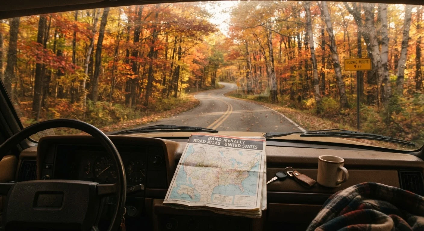
Photo credit: ExploreRoute.net | Travel Made Simple
In this article
Blue highways — the small roads on old maps — offer a slower, richer America. Here's what sets them apart from interstate driving.
Key Takeaways
- Blue highways are secondary roads once printed in blue on U.S. road atlases, distinct from numbered interstates.
- They offer slower travel that passes through small towns, landscapes, and communities interstates bypass entirely.
- Backroad travel requires more planning around fuel, services, and road conditions than interstate driving.
- The experience rewards curiosity — roadside history, local food, and unexpected stops define these routes.
- Blue highways complement, rather than replace, designated scenic byways and iconic routes.
Where the Term Comes From
Before GPS and digital navigation, American road travelers relied on thick paper atlases — and in those atlases, roads had a color hierarchy. Interstates and major U.S. routes ran bold and red. Secondary roads, the narrow two-laners linking small towns and county seats, were rendered in a quieter blue. That visual distinction gave birth to a shorthand: the blue highways.
The phrase stuck partly because of William Least Heat-Moon, who in 1982 published Blue Highways: A Journey into America, a memoir recounting his months-long circuit of the country on nothing but those small roads. The book reframed backroad travel not as a lesser option but as a deliberate philosophy — a choice to trade speed for texture.
Today, "blue highways" functions as a cultural umbrella for any secondary road that sits outside the interstate grid, whether it carries a state route number or a county designation. There is no official registry, no government program. That informality is part of the point.
What Makes the Experience Different
The most immediate difference between interstate and backroad travel is sensory. On a freeway, the landscape flattens into a corridor of guardrails and overpasses. On a two-lane state road, the geography comes right to the edge of the pavement — a barn wall, a creek crossing, a hand-painted sign for boiled peanuts. The road is inside the place, not above it.
~4 million
Miles of road in the U.S. public road network
According to the U.S. Department of Transportation, the vast majority of this network consists of local and rural roads — not interstates.
46,876
Miles in the Interstate Highway System
The Federal Highway Administration reports the U.S. Interstate System spans roughly 47,000 miles — less than 2% of total public road mileage.
1982
Year 'Blue Highways' was published
William Least Heat-Moon's travel memoir helped define backroad travel as a distinct and deliberate American tradition.
Speed is another factor. Blue highways impose their own pace through curves, grades, and the occasional tractor making a field turn. That enforced slowness changes how you notice things. The roadside becomes readable in ways that 75-mph travel never allows — a subject explored in depth in Reading the Roadside.
Then there's the human dimension. Small towns that interstates bypass entirely — towns that may have lost their traffic and economic gravity when the highway moved — still exist on blue highways. Diners, hardware stores, county courthouses, and local festivals are all part of the landscape. These are places where the built environment hasn't been replaced by franchise uniformity.
Build In Buffer Time
Blue highway travel consistently takes longer than mapping apps predict. Stop estimates don't account for slow farm traffic, gravel segments, or the diner you didn't know you'd want to sit in for an hour. Build at least 20–30% extra time into any backroad day. The detours and delays are often the best parts of the trip.
The Practical Realities of Backroad Travel
Romanticizing blue highways is easy. Planning them honestly takes a little more work. Fuel stations can be widely spaced, and in rural counties, those stations may keep limited hours. Cell coverage is inconsistent on many secondary roads, which matters both for navigation and emergencies. A paper atlas or downloaded offline maps aren't a retro affectation — they're sensible preparation.
Road quality varies considerably. Most state-numbered routes are well-maintained. County roads can range from smooth asphalt to washboarded gravel. Roads through national forests introduce their own set of conditions and rules worth understanding before you go.
Seasonality matters too. Mountain backroads may close in winter or early spring. Flood-prone rural routes in the South or Midwest can become impassable after heavy rain. Checking with state DOT resources or county road departments before a trip pays off, particularly for less-traveled corridors.
None of this is a deterrent — it's just the honest version of the adventure. Backroad travel rewards people who prepare lightly but prepare thoughtfully.
Blue Highways vs. Scenic Byways: Related but Different
It's worth separating blue highways from the federally designated National Scenic Byways system. Byways earn their designation through a formal application process, recognizing intrinsic qualities — scenic, natural, cultural, historic, recreational, or archaeological. They're often promoted, signposted, and supported with traveler infrastructure.
Blue highways may or may not overlap with byways. A county road through the Kansas Flint Hills that crosses tallgrass prairie might be both a blue highway and part of a scenic byway corridor — or it might be entirely unmarked and unknown outside the local county. The difference is formal recognition, not quality of experience.
Similarly, iconic routes like the Blue Ridge Parkway represent managed, curated travel corridors — beautiful precisely because of deliberate design. The unmarked county roads threading the same Appalachian mountains offer something rawer and less mediated. Both have genuine value; they're simply different modes of engagement with the same landscape.
Frequently Asked Questions

Author
Road Trip Culture Editorial Team
Road Trip Culture Editorial Team is the collective byline for our editorial team and contributor network. Articles published under this byline or an editorial pen name are researched, written, and reviewed according to our editorial standards for clarity, consistency, and independence before publication.
View all articles →