
Blue Ridge Parkway vs. Skyline Drive: Two Appalachian Corridors Compared
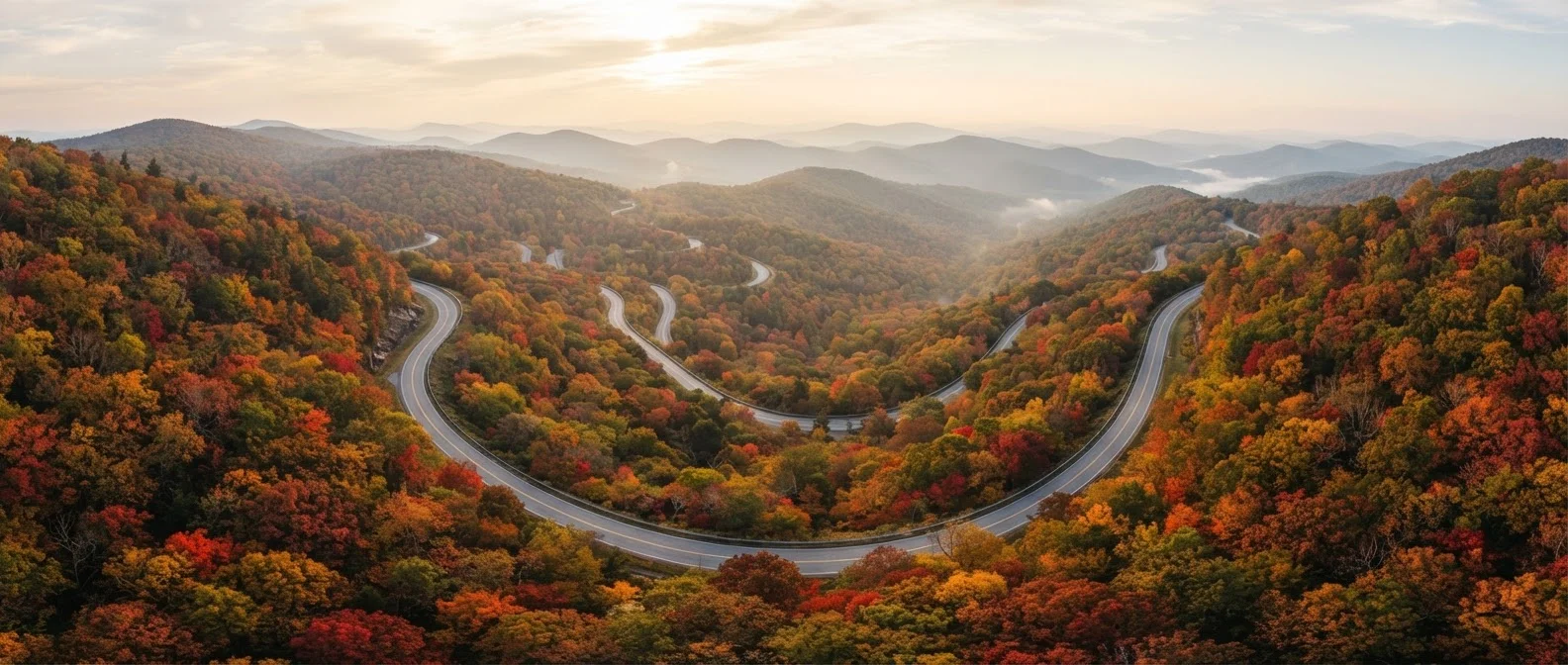
Photo credit: ExploreRoute.net | Travel Made Simple
In this article
Both hug the spine of the Appalachians, but their scenery, access points, and driving experiences differ in meaningful ways.
Key Takeaways
- Skyline Drive runs 105 miles through Shenandoah National Park; the Blue Ridge Parkway stretches 469 miles through Virginia and North Carolina.
- Skyline Drive charges a national park entrance fee; the Blue Ridge Parkway has no entrance fee along most of its length.
- Both roads prohibit commercial trucks and enforce strict speed limits — typically 35 mph — to preserve the scenic experience.
- The Blue Ridge Parkway connects to Skyline Drive's southern terminus at Rockfish Gap, making a continuous drive possible.
- Seasonal closures and fog can affect both routes; always check National Park Service road conditions before departing.
Origins and Oversight: Two Roads, One Mountain Chain
Though they share the same ridgeline and a common southern boundary at Rockfish Gap in Virginia, the Blue Ridge Parkway and Skyline Drive have distinct administrative identities. Skyline Drive is the sole public road running the length of Shenandoah National Park, managed entirely under national park rules — including a vehicle entrance fee and the infrastructure that comes with a fully enclosed park system. The Blue Ridge Parkway, by contrast, is itself a unit of the National Park System: a 469-mile corridor that winds from Rockfish Gap south to Cherokee, North Carolina, threading through two national forests and passing near several separate parks along the way.
Construction on Skyline Drive began in 1931 under President Hoover and was largely complete by 1939. The Blue Ridge Parkway followed shortly after, with its first section opening in 1935 — though the final segment near Grandfather Mountain wasn't completed until 1987. This history matters: both roads were Depression-era public works projects, designed as much to create jobs and democratize mountain access as to preserve scenery. Understanding that shared origin helps explain why both prioritize slow, contemplative driving over throughput. The unmarked county roads threading these same mountains tell a very different story — rougher, less curated, and equally worth knowing about.
Length, Access, and Driving Character
The most immediate practical difference is scale. Skyline Drive covers 105 miles with 75 overlooks, making it manageable as a day-trip or relaxed overnight. The Blue Ridge Parkway spans 469 miles — a commitment that rewards those who treat it as a destination in itself rather than a route between points.
| Criterion | Blue Ridge Parkway | Skyline Drive |
|---|---|---|
| Total Length | 469 miles | 105 miles |
| States Covered | Virginia & North Carolina | Virginia only |
| Entrance Fee | None (most sections) | Shenandoah National Park pass required |
| Max Elevation | ~6,053 ft (Richland Balsam) | ~4,050 ft (Hawksbill, by trail) |
| Speed Limit | 35 mph | 35 mph |
| Commercial Vehicles | Prohibited | Prohibited |
| Number of Overlooks | ~300+ | ~75 |
| Managed By | National Park Service (own unit) | Shenandoah National Park |
Speed limits on both roads top out at 35 mph, and commercial vehicles are prohibited on either corridor. Fuel is scarcer than drivers often expect — first-time Blue Ridge Parkway drivers are frequently caught off guard by limited services, and the same applies on Skyline Drive. Topping off your tank before entering either road is simply good practice. Access points also differ: Skyline Drive has two primary entrances (Front Royal in the north and Rockfish Gap in the south), while the parkway has dozens of crossing roads, letting drivers dip in and out with flexibility.
Scenery, Stops, and Cultural Landmarks
Skyline Drive's scenery is defined by its Shenandoah Valley setting — sweeping west-facing views of the pastoral valley floor, with rolling farmland visible far below. Peaks top out around 4,050 feet at Hawksbill Summit (accessible by trail), giving the drive a moderate alpine feel without extreme elevation. The road is dense with overlooks but relatively light on developed cultural stops beyond the Dickey Ridge and Byrd visitor centers.
The Blue Ridge Parkway offers a dramatically wider range of experiences. Mabry Mill in Virginia is one of the most photographed structures in the entire National Park System. The Linn Cove Viaduct in North Carolina — an engineering marvel hugging the flank of Grandfather Mountain — is unlike anything on Skyline Drive. The parkway also passes the Museum of North Carolina Minerals, the Peaks of Otter lodge area, and the gateway to the Great Smoky Mountains. Elevation varies considerably, reaching over 6,000 feet near Richland Balsam. For those curious how parkways compare with wilder public roads, national forest roads offer a useful contrast — more rugged, less managed, and subject to very different rules.
469 mi
Blue Ridge Parkway total length
The parkway is the longest linear unit in the entire National Park System, running from Rockfish Gap, VA to Cherokee, NC.
15 million+
Annual Blue Ridge Parkway visits
According to National Park Service visitation data, the Blue Ridge Parkway consistently ranks among the most visited NPS units in the country.
1987
Year Blue Ridge Parkway was completed
Construction began in 1935, but the final segment near Grandfather Mountain wasn't finished until 52 years later due to engineering and land challenges.

Author
Road Trip Culture Editorial Team
Road Trip Culture Editorial Team is the collective byline for our editorial team and contributor network. Articles published under this byline or an editorial pen name are researched, written, and reviewed according to our editorial standards for clarity, consistency, and independence before publication.
View all articles →