
Things That Catch First-Time Blue Ridge Parkway Drivers Off Guard
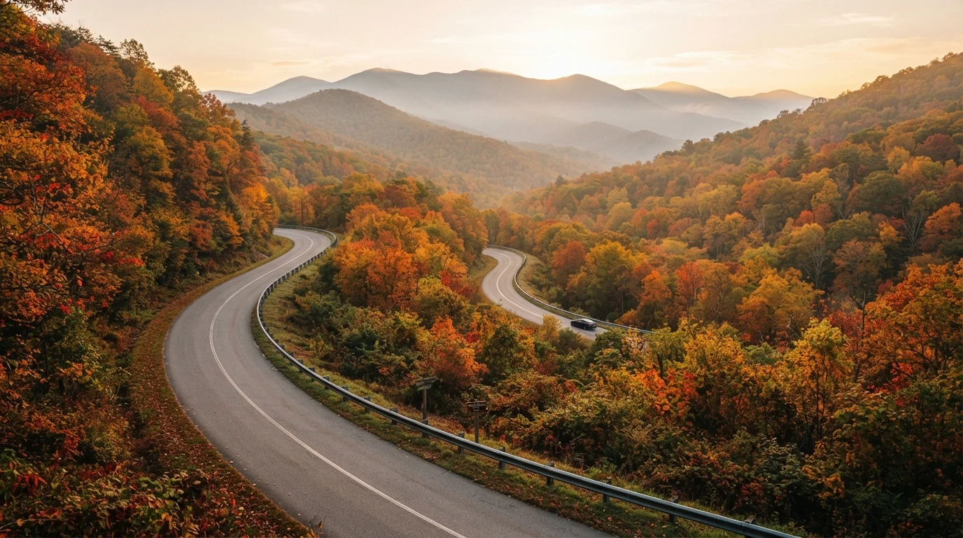
Photo credit: ExploreRoute.net | Travel Made Simple
In this article
No commercial trucks, limited fuel stops, and seasonal closures — the Blue Ridge Parkway operates by its own rules.
Key Takeaways
- Commercial vehicles are prohibited on the Parkway, so fuel and supplies must be planned in advance.
- Speed limits top out at 45 mph and are actively enforced by National Park Service rangers.
- Seasonal closures — especially at high elevations — can shut down significant stretches with little warning.
- Cell service is unreliable along much of the route; offline maps are essential.
- Fog and sudden weather changes are common year-round, not just in winter months.
Why the Blue Ridge Parkway Surprises Even Experienced Road Trippers
Stretching 469 miles from Shenandoah National Park in Virginia to Great Smoky Mountains National Park in North Carolina, the Blue Ridge Parkway was designed from the start to be different. Completed gradually between the 1930s and 1980s, it was engineered as a recreational road — not a transport corridor. That design philosophy shapes everything about driving it, and it catches a surprising number of first-timers flat-footed.
Unlike interstate driving or even the kind of backroad wandering covered in our guide to blue highway travel, the Parkway operates under National Park Service jurisdiction with its own distinct ruleset. Understanding those rules before you go turns a potentially frustrating trip into one of the most rewarding drives in America.
Assuming fuel is available along the Parkway itself.
Why it happens: Drivers accustomed to interstates expect gas stations every 20–30 miles. The Parkway prohibits commercial vehicles and services, meaning there are zero fuel stations on the road itself.
Underestimating how long the drive actually takes.
Why it happens: The 469-mile length sounds manageable on paper, but a 45 mph speed limit, frequent overlook stops, and winding terrain mean average progress is much slower than on a highway.
Not checking closure status before departure.
Why it happens: Many drivers assume a federally maintained road is always open. In reality, the Parkway closes sections regularly due to ice, rockslides, fog advisories, or seasonal maintenance.
Relying on cell service for navigation and emergencies.
Why it happens: Smartphones handle navigation so reliably elsewhere that most drivers never consider downloading offline maps. Dead zones on the Parkway can last 40–60 miles.
Driving too fast for Parkway conditions.
Why it happens: The road is smooth and well-maintained, which can lull drivers into speeds above the posted 45 mph maximum — especially on straightaways.
Visiting in peak foliage season without planning for crowds.
Why it happens: October on the Blue Ridge is stunning, but that's also when the road sees its heaviest use. Overlook parking fills quickly, and popular sections can feel gridlocked.
The Logistics That Trip Up First-Timers
Even drivers who research the Parkway carefully tend to underestimate its practical demands. The road's remoteness is part of its appeal — but it requires a different kind of preparation than a standard highway trip.
469 miles
Total Parkway length across two states
The Blue Ridge Parkway runs from milepost 0 at Rockfish Gap, Virginia, to milepost 469 near Cherokee, North Carolina.
45 mph
Maximum speed limit on the entire route
The 45 mph ceiling applies along the full Parkway and is enforced by National Park Service law enforcement rangers.
~6,000 ft
Highest elevation reached on the Parkway
Richland Balsam overlook in North Carolina sits at approximately 6,047 feet, making it the highest point on the entire route.
Conditions along the Parkway can also shift dramatically with elevation and season. Sections above 4,000 feet are prone to ice and dense fog well into spring, and autumn — the most popular travel window — brings both spectacular foliage and heavy congestion at overlooks. For comparison, national forest roads share some of the same remoteness but operate under entirely different access and closure rules.
Fog and Ice Form Quickly at Elevation
Sections of the Parkway above 4,000 feet can experience fog, frost, and black ice during any month of the year — not just winter. Conditions can shift within minutes as weather moves across the ridgeline. If visibility drops significantly or temperature falls unexpectedly, use the nearest crossroad to exit the Parkway and wait it out. Never attempt to navigate thick fog at Parkway speeds.
Before finalizing your route, check the National Park Service's Parkway closure map, which is updated regularly and reflects both planned maintenance and weather-related shutdowns. The complete guide to road tripping through national parks is also worth reviewing for broader context on driving within federally protected land.

Author
Road Trip Culture Editorial Team
Road Trip Culture Editorial Team is the collective byline for our editorial team and contributor network. Articles published under this byline or an editorial pen name are researched, written, and reviewed according to our editorial standards for clarity, consistency, and independence before publication.
View all articles →