
Planning a Trip to a Remote Natural Site You Can't Find on Google
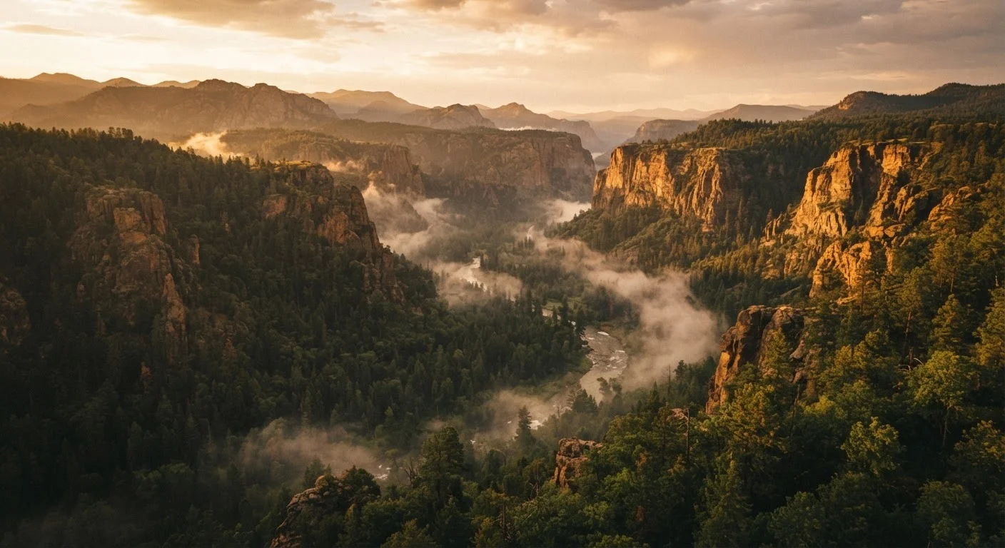
Photo credit: ExploreRoute.net | Travel Made Simple
In this article
When maps and travel blogs fall short, here's how to research, prepare, and safely reach wilderness areas with little public documentation.
Key Takeaways
- Remote natural sites with little online documentation require deeper research through government land management agencies and topographic maps.
- Local knowledge — from rangers, naturalists, and regional outfitters — often unlocks access that no internet search can replicate.
- Safety planning for undocumented terrain demands more preparation than a standard backcountry trip, including satellite communication tools.
- Responsible visitation means leaving no evidence of your presence and carefully weighing whether to share a site's location publicly.
- Verify land access, seasonal conditions, and any permit requirements through official sources before departure.
Why Some of the World's Most Remarkable Places Have No Digital Footprint
Not every spectacular natural site has a hashtag, a trail head sign, or a listing on a travel app. Entire categories of wilderness remain genuinely undocumented in mainstream media — obscure geological formations accessible only by cross-country hiking, riparian canyons known only to regional ecologists, high desert playas that appear on no curated list. These are not overlooked by accident. They persist in obscurity partly because of their physical inaccessibility, partly because of deliberate stewardship by those who know them, and partly because the infrastructure of travel content creation simply hasn't reached them yet.
For travelers genuinely seeking something beyond the well-worn, these places represent the frontier of independent exploration. But reaching them safely and responsibly requires a fundamentally different research and preparation approach than booking a national park trip. The absence of a trail app review is not a signal that a site is safe or straightforward — in many cases, it's the opposite.
The Best Sources Are Often Offline
University geography departments, state geological surveys, and regional naturalist clubs often maintain detailed records of natural features that never appear in travel media. A single phone call to a county extension office or a local birding society can surface directions, seasonal access windows, and site-specific hazards that no amount of searching will uncover. Treat human expertise as a primary research layer, not a backup.
If this is your first time venturing beyond marked trails, start with the foundational guide to remote wilderness travel before attempting a completely undocumented site.
What You'll Need Before You Begin
Planning for an undocumented site is more demanding than planning a conventional backcountry trip precisely because you cannot fall back on the collective knowledge embedded in trail guides, recent trip reports, or ranger station handouts. Every layer of preparation — navigation tools, access confirmation, safety infrastructure — must be constructed independently from primary sources.
What you will need
USGS National Map / 7.5-Minute Topographic Maps
Reveals terrain features, elevation changes, drainage, and land boundaries for areas with no trail or road markings.
Satellite Communicator (two-way messaging capable)
Enables emergency SOS and check-in messages where cellular service is completely absent.
Basecamp-compatible GPS Device
Allows pre-loaded custom waypoints and offline route navigation when phones and cellular maps fail.
BLM / National Forest Land Status Maps
Confirms whether land is publicly accessible, privately held, or subject to special-use permits.
Compass (baseplate style)
Provides reliable directional navigation independent of batteries or satellite signal.
Waterproof Map Case and Printed Topo Maps
Ensures navigation materials survive wet conditions in the field.
Water Filtration System
Remote sites rarely have potable water infrastructure; field filtration is essential for multi-day access.
Emergency Bivouac Shelter
Provides unexpected overnight protection if weather, injury, or navigation error extends time in the field.
Verify Access and Safety Before You Go
Remote natural sites with no public documentation carry genuine physical risk. Before entering undocumented terrain, confirm land ownership and legal access, share your itinerary with a trusted contact, and carry a satellite communicator capable of two-way messaging. Always check official government land management sources for any closures, fire restrictions, or permit requirements — do not rely on third-party blogs or social media posts as authoritative.
Use the steps below as your planning framework. Supplement them with the full pre-trip checklist for unmarked natural areas once you're ready to finalize your itinerary.
Step-by-Step: Researching and Planning Your Visit
Source the Site Through Non-Digital Channels
The internet has indexed an impressive fraction of the world's remarkable places — but not all of them. Truly undocumented natural sites tend to surface through oral networks: conversations with long-tenured park rangers in adjacent managed areas, regional naturalist societies, university geology and ecology departments, and county-level land management offices. The key is asking specific, geographic questions rather than broad ones. Instead of "are there any interesting canyons nearby," ask about specific drainages, geological formations, or plant communities known to the region.
Regional libraries and historical societies sometimes hold older survey documents, aerial photography archives, and hand-drawn maps that predate digital cartography — a productive research avenue that most travelers overlook entirely.
Confirm Land Access and Legal Status
A site being unknown does not make it publicly accessible. Remote natural areas in the US fall under a complex patchwork of ownership: Bureau of Land Management (BLM) land, National Forest, state parks, private ranches, tribal land, and military reservation land may share borders or overlap. Before planning any route, cross-reference the site's coordinates against BLM land status maps, state GIS portals, and the USGS National Map.
If the land involves private ownership, there is no legal path to access without explicit written permission from the landowner. Trespassing — regardless of how pristine the destination — exposes you to legal liability and undermines the goodwill that sometimes allows informal access to persist. When in doubt, contact the relevant land management office directly.
Build Your Topographic and Route Intelligence
Once access is confirmed, begin constructing a layered picture of the terrain using USGS 7.5-minute topographic maps supplemented by recent satellite imagery from public sources. Identify approach corridors, water sources, drainage patterns, elevation gain, and any terrain features — cliff bands, slot canyons, unstable scree — that could complicate navigation or create hazard.
Load custom waypoints onto a dedicated GPS device and print paper copies of all maps. This is non-negotiable: digital navigation tools fail in remote terrain, and a site absent from public documentation is unlikely to have any cellular coverage. Reading the terrain before you go can meaningfully reduce surprises once you're in the field.
Assess Seasonal Conditions and Timing
Undocumented natural sites often lack the interpretive signage, seasonal closures, and hazard warnings that managed areas provide. That means you must independently research what the site looks like across the calendar year. Flash flood risk in slot canyons, snowpack on high approaches, fire activity, spring mud seasons that close access roads, and wildfire smoke windows all require independent assessment.
Contact the nearest managing agency or county emergency services office to ask about current conditions. The trade-offs of off-season access are especially pronounced when visiting sites with no maintained infrastructure to provide early warning of deteriorating conditions.
Establish a Robust Safety and Communication Plan
A site with no trail documentation and no cellular coverage demands a communication plan built around the assumption of zero outside assistance in the critical first hours of an emergency. Carry a satellite communicator capable of two-way messaging and SOS activation. Leave a detailed trip plan — including coordinates, planned campsites, route description, vehicle location, and return date — with a trusted emergency contact who knows exactly when and how to escalate if they do not hear from you.
Before departure, use this comprehensive checklist for unmarked natural areas to confirm nothing critical has been overlooked. Consider whether your group has wilderness first aid training sufficient for the specific hazards of your terrain.
Travel Ethically and Decide What to Share
One of the most consequential decisions you'll make about a remote natural site is whether — and how much — to publicize it afterward. Many formerly pristine locations have been altered irreversibly within months of appearing in a single widely-shared social media post. Before sharing coordinates, trail descriptions, or identifiable photographs publicly, honestly consider the site's fragility, its capacity to absorb visitor traffic, and whether its current protections are sufficient to withstand exposure.
In the field, apply Leave No Trace principles rigorously. Standard LNT principles need adapting in genuinely remote terrain — tread carefully, camp on durable surfaces, and pack out every trace of your presence. Treat the site's obscurity as part of its value, and protect it accordingly.
Undocumented Terrain Is Unforgiving
Sites absent from Google Maps and mainstream travel resources are typically undocumented for a reason — they may lack maintained access routes, reliable water sources, or emergency response coverage. Do not assume that a site's obscurity means it is safe or legally accessible. Consult the pre-trip checklist for unmarked natural areas before committing to any route.
When your route involves extended driving on unmaintained roads, the approach used for planning hidden scenic drives offers useful complementary methodology for sourcing local road conditions and access information.
Travel conditions, land access rules, seasonal restrictions, and safety considerations for remote natural areas can change without notice. Always verify current information with the relevant land management agency or official government source before departing. This article is for general informational purposes only and does not constitute safety, legal, or professional outdoor guiding advice.

Author
Hidden Destinations Editorial Team
Hidden Destinations Editorial Team is the collective byline for our editorial team and contributor network. Articles published under this byline or an editorial pen name are researched, written, and reviewed according to our editorial standards for clarity, consistency, and independence before publication.
View all articles →