
Planning a Hidden Scenic Drive Without a Pre-Packaged Itinerary
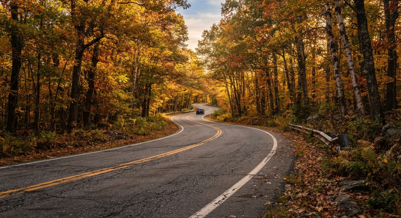
Photo credit: ExploreRoute.net | Travel Made Simple
In this article
Discover how to research, route, and prepare for lesser-known drives using topographic maps, state DOT resources, and local knowledge.
Key Takeaways
- State DOT websites and USGS topographic maps are among the most reliable free tools for finding undocumented scenic routes.
- Local ranger stations, historical societies, and county visitor bureaus often hold route knowledge that no travel blog publishes.
- Road surface classification, seasonal closures, and fuel range must be verified before committing to remote drives.
- A self-built itinerary typically yields more authentic experiences than any pre-packaged scenic drive guide.
- Always carry a paper backup map — cell coverage on hidden backroads is frequently nonexistent.
Why Skip the Pre-Packaged Route?
America's iconic highway corridors have earned their reputations — but they've also earned their crowds. The country's most memorable driving experiences are often found on roads with no marketing budget: a ridge road through a national forest, a river valley county highway, a stretch of old alignment bypassed by the interstate decades ago.
Pre-packaged itineraries, by design, serve the average traveler — the one who wants confirmation that a route is worth doing before they do it. If you're reading this, you're probably not that traveler. You want the drive that feels like your own discovery, where the pullouts aren't labeled and the only other cars belong to locals. That kind of route requires a different research process, and it's more accessible than most people think.
For a broader survey of methods and regional highlights, the complete guide to discovering hidden scenic drives is a useful companion to the step-by-step process outlined here.
What you will need
Research Tools and What to Do With Them
The gap between a known scenic drive and an unknown one is usually just documentation — or the absence of it. Lesser-traveled routes haven't been written up, not because they're inferior, but because no one with a travel blog has driven them yet. Your research task is to find the signal in publicly available data that professional travel writers haven't gotten to.
USGS National Map Viewer
Provides detailed topographic maps showing elevation change, terrain features, and unpaved road classifications across the US.
State DOT Road Viewer
Each state's Department of Transportation publishes road classification data, surface types, and seasonal closure notices.
Avenza Maps (offline PDF maps)
Allows you to download georeferenced maps for offline GPS tracking without a cell connection.
Paper DeLorme Atlas or County Road Map
Provides a physical backup navigation resource when digital devices lose power or signal.
iOverlander or FreeRoam App
Community-sourced databases of road conditions, camping spots, and waypoints submitted by overlanders and backroad drivers.
Verify Road Conditions Before You Go
Unmarked and low-traffic roads can close without public notice due to seasonal weather, flooding, or maintenance. Always contact the relevant county road department or land management agency within a few days of your planned drive. Do not rely solely on navigation apps for surface condition or road classification data — that information can be months or years out of date.
If your planned route ventures into genuinely remote terrain, the guidance on researching remote natural sites covers research strategies for places with even less public documentation than a backroad drive.
Planning the Drive Step by Step
Choose a Region and Define Your Visual Goal
Before opening a single map, decide what kind of landscape or experience you're chasing — canyon rims, coastal bluffs, farmland corridors, old-growth forest. This narrows your research target considerably. Resist the urge to plan a complete route at this stage. You're anchoring a direction, not drawing a line.
Mine State DOT and Forest Service Resources
Every state maintains a DOT road viewer or GIS portal that classifies roads by surface type and maintenance status. Filter for paved secondary roads and improved gravel roads in your target region. Simultaneously, check US Forest Service and BLM (Bureau of Land Management) motor vehicle use maps — these are free PDFs showing which roads are legally open to wheeled vehicles and their approximate surface condition.
Layer in Topographic Context
Pull your candidate routes into the USGS National Map Viewer or a topo-capable app. Roads that track along ridgelines, hug river valleys, or climb through significant elevation change almost always offer better scenery than flat, straight county roads. Look for routes where the road geometry — its curves and grades — suggests the terrain is doing interesting things.
Consult Local Knowledge Sources
County visitor bureaus, local historical societies, and small-town chambers of commerce often maintain information about scenic byways that never received a state or federal designation. Call or email them directly and ask specifically about backroads, historic routes, and drives locals recommend to visitors. This step regularly surfaces roads that have zero online presence.
[tip_callout]Assess Practical Feasibility
Map your candidate route's total mileage and estimate a realistic driving time — accounting for surface type, curves, and planned stops. Identify fuel points along the way. Check seasonal closure windows: mountain passes and forest roads often close from November through May depending on elevation and region. Confirm whether your vehicle's clearance and drivetrain suit the road surface.
Build Your Navigation Stack
Download offline maps for the entire route before leaving cellular range. Export your planned route as a GPX file if your navigation app supports it, and load it onto a device with a reliable mount. Print or purchase a paper map that covers the full corridor — this is your failsafe, not a backup you hope you never use. See the full pre-drive checklist for everything else worth verifying before departure.
Fuel Range Is a Safety Issue
Remote scenic corridors may have no gas stations for 60 miles or more. Calculate your vehicle's realistic range, add a meaningful buffer, and carry a certified fuel container if appropriate. Running dry on a backcountry road is more than an inconvenience — it can become a genuine emergency.
Once you've locked in a route that checks out logistically, think about what else you want out of the drive itself. The approach to planning routes that reward the journey is worth reading before you finalize your stop timing and daily mileage targets. And if you want to capture the drive without constantly pulling over, in-motion photography techniques can help you document the road as you travel it.

Author
Road Trip Culture Editorial Team
Road Trip Culture Editorial Team is the collective byline for our editorial team and contributor network. Articles published under this byline or an editorial pen name are researched, written, and reviewed according to our editorial standards for clarity, consistency, and independence before publication.
View all articles →