
Preparing to Visit an Unmarked Natural Area: A Pre-Trip Checklist
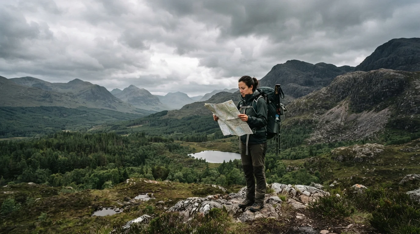
Photo credit: ExploreRoute.net | Travel Made Simple
In this article
No ranger station, no trail markers, no mobile signal. Use this checklist to confirm you're genuinely ready before entering remote wild terrain.
Key Takeaways
- Unmarked natural areas demand more preparation than national parks — there is no safety net once you enter.
- Navigation tools must be analog-capable; never rely solely on digital devices in areas without cell coverage.
- A filed trip plan with a trusted contact is one of the most important safety steps you can take.
- Leave-no-trace principles require adaptation in pristine, rarely visited ecosystems.
- Access permissions and land-status research should be completed weeks before departure, not the day before.
Why Unmarked Areas Demand a Different Kind of Readiness
Visiting a place that does not appear in travel blogs, does not have a ranger station, and does not offer a cell signal is a fundamentally different proposition from even the most challenging marked national park trail. There is no fallback. When the terrain shifts unexpectedly or weather closes in, the margin for error collapses quickly — and the resources that rescue hikers in managed parks simply do not exist here.
That gap between a marked wilderness experience and a truly unmarked one is exactly what this checklist is designed to bridge. Whether you are preparing for a remote canyon drainage, an unmapped coastal headland, or a high-alpine plateau that never made it onto any official map, the items below represent the minimum due diligence serious explorers undertake before stepping off the grid. For foundational research before this stage, see our guide to researching remote sites with little public documentation.
Land Access and Permissions
Navigation Preparation
Safety and Emergency Planning
Weather and Environmental Conditions
Leave-No-Trace and Ecological Responsibility
Final Go / No-Go Check
Tools You Will Need Before You Go
This checklist requires more than good intentions — it requires specific gear and reference materials that must be sourced, tested, and confirmed functional before departure. Below are the core tools that underpin almost every item on the list.
Topographic Paper Map (1:25,000 scale or larger)
Provides navigation capability independent of batteries, signal, or device failure — the essential backup for any unmarked terrain.
Baseplate Compass
Used alongside the paper map to take bearings and determine direction when no landmarks or devices are available.
GPS Device or Offline Mapping App (with downloaded maps)
Allows real-time position tracking and waypoint logging in areas with no cell signal — must be loaded before departure.
Satellite Communicator or Personal Locator Beacon (PLB)
Enables two-way messaging or emergency SOS transmission from areas entirely outside cellular and radio coverage.
Water Filtration or Purification System
Treats natural water sources along the route when no potable water infrastructure exists.
WAG Bag or Waste Containment System
Allows compliant human waste management in areas where cathole burial is prohibited or ecologically inappropriate.
Land Management Agency Contact Information
Provides pre-trip access for permit verification and on-trip emergency escalation to the relevant authority.
If you are new to remote navigation or have only traveled marked trails before, the beginner's guide to remote wilderness travel covers foundational skills worth reviewing alongside this checklist. Those heading into areas with rare or sensitive ecosystems should also consult our guide to responsible travel in fragile natural environments before finalizing plans.
A Note on Risk, Responsibility, and Environmental Stewardship
Unmarked natural areas remain pristine precisely because few people visit them — and that is a privilege that carries real weight. Before you go, review how leave-no-trace principles shift in truly remote terrain; standard rules were written for managed parks, not for fragile ecosystems that may never have seen a boot print.
Pristine Areas Are Not Forgiving of Underpreparation
The absence of infrastructure — no signage, no maintained trails, no ranger presence — means that mistakes compound faster and rescue takes longer than in managed parks. Do not treat this checklist as a formality. Each item represents a real scenario where the gap between prepared and unprepared has had serious consequences for travelers. If you cannot honestly tick every 'must' item, reassess your departure date.
For those arriving by road, confirm your vehicle preparation is complete using the scenic drive preparation checklist, and cross-reference your gear against the adventure travel packing checklist for terrain-specific coverage. Entry rules and permit frameworks for protected land are covered in detail in the complete guide to road tripping through national parks and reserves.
Always Verify Access and Entry Requirements Officially
Land status, permit requirements, tribal jurisdiction boundaries, and seasonal closures are subject to change and are not always reflected in third-party mapping tools or travel blogs. Before any visit to an unmarked or remote natural area, contact the relevant land management agency directly — whether that is a federal bureau, state agency, tribal authority, or private landowner — to confirm current access rules. Do not rely solely on online forums or GPS layers for legal access information.
This article provides general preparatory information for educational purposes only. Conditions in remote natural areas can change rapidly and without warning. Always verify land access, weather, and emergency protocols with relevant land management agencies and official government sources before travel. Outdoor activities in remote terrain carry inherent risk; consult qualified guides or local experts where appropriate.

Author
Hidden Destinations Editorial Team
Hidden Destinations Editorial Team is the collective byline for our editorial team and contributor network. Articles published under this byline or an editorial pen name are researched, written, and reviewed according to our editorial standards for clarity, consistency, and independence before publication.
View all articles →