
Reading the Land: Geographic Clues That Signal a Hidden Natural Wonder Nearby
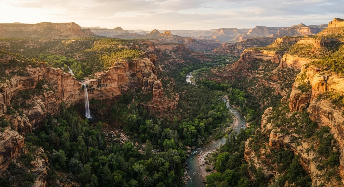
Photo credit: ExploreRoute.net | Travel Made Simple
In this article
Topo lines, satellite imagery, and local geology can all point toward breathtaking landscapes before you ever set foot on a trail.
Key Takeaways
- Topographic maps reveal compressed contour lines that often signal dramatic waterfalls or canyon drops.
- Vegetation anomalies visible on satellite imagery can indicate hidden springs, sinkholes, or geothermal features.
- Rock type transitions — visible even from a road — frequently mark boundaries where spectacular formations begin.
- Drainage patterns on maps often lead to amphitheater valleys, slot canyons, and natural arches.
- Always cross-reference geographic clues with trail databases and local land-management agency advisories before venturing off-trail.
Why the Map Knows What the Guidebook Doesn't
Mainstream travel content tends to cluster around the same proven spectacles — the arches that appear on license plates, the waterfalls every influencer has photographed. What rarely makes those lists are places that require a little cartographic literacy to find. A topographic map, a satellite layer, and a basic understanding of regional geology can collectively function as a second guidebook — one written not by editors chasing traffic but by the Earth itself over millions of years.
Frequent travelers who have moved past the highlights circuit often sense there is more in a region — some fold in the landscape they glimpsed from the highway, a color shift in the rock that didn't match the surrounding terrain. Those instincts are worth trusting, because they are usually pointing at something real. The skill is learning to read the signals systematically rather than stumbling on them by luck.
See our guide to wilderness areas that rarely appear on any map for destinations where these techniques already pay off.
Core Practices for Reading Geographic Clues
The following practices form a repeatable method for identifying candidate sites before you leave home — or while scanning the view from a scenic overlook.
Look for tightly clustered contour lines on topographic maps.
Contour lines that bunch together indicate rapid elevation change — the cartographic signature of cliffs, gorges, and waterfalls. Most people scan topo maps for summits; the more interesting find is often the steep descent beside one, where water has been cutting for centuries.
Identify tributary junctions where smaller streams meet larger ones at sharp angles.
When a tributary cuts into a main channel at a steep angle rather than merging gradually, it often indicates that the side stream is eroding through harder rock — creating slot canyons, potholes, or narrow gorges along its upper reach.
Trace anomalous vegetation patterns on satellite imagery.
In arid and semi-arid landscapes, a cluster of dark-green vegetation surrounded by scrub is almost always fed by a water source invisible from above — a spring, a seep, or a fault-driven upwelling. These green islands frequently mark grotto-like alcoves, hanging gardens, or small oases with dramatic geology.
Map the boundaries between different rock types using freely available geologic survey data.
Where two rock types meet — particularly where erosion-resistant rock sits atop softer material — you often find natural arches, balanced rocks, hoodoos, or cliff-face caverns. These contact zones are where differential weathering does its most dramatic work. The geological formations guide explains how to interpret these boundaries in more detail.
Check land-management boundary maps for isolated wilderness study areas and roadless zones.
National forests, BLM land, and state trust lands sometimes contain small designated wilderness study areas that receive minimal documentation in popular media. These units are often buffered from development specifically because of their geological or ecological sensitivity — which also makes them extraordinary to visit.
From the Driver's Seat and the Desktop
Much of this detective work happens before boots touch ground. Free satellite tools allow you to trace the path of ephemeral streams, identify unusual circular depressions (possible karst collapse features), and spot the dark-green signatures of riparian corridors in otherwise arid terrain — each a potential lead. Once in the field, the same principles apply through the windshield. A sudden ridge of white limestone cutting across a red-rock plateau, a cluster of cottonwoods in a dry basin, a notch in a distant escarpment that no road seems to reach — these are invitations.
For a deeper read on what the terrain itself records across geological time, the primer on reading rock formations in wild landscapes offers essential context. And if you prefer to absorb these clues from a moving vehicle, reading a landscape from the driver's seat walks through what to watch for as terrain shifts beneath you.
Verify Conditions and Access Before You Go
Geographic clues can point toward extraordinary places, but not all of them are safely or legally accessible. Always confirm land ownership and permitted access through the relevant land-management agency — BLM, US Forest Service, state parks, or tribal land administrators — before exploring off-trail. Conditions, seasonal closures, and permit requirements change; check official sources close to your travel date. For internationally adjacent areas, verify entry requirements through official government travel portals.

Author
Hidden Destinations Editorial Team
Hidden Destinations Editorial Team is the collective byline for our editorial team and contributor network. Articles published under this byline or an editorial pen name are researched, written, and reviewed according to our editorial standards for clarity, consistency, and independence before publication.
View all articles →