
Desert Drives You Won't Find in Any National Park Brochure
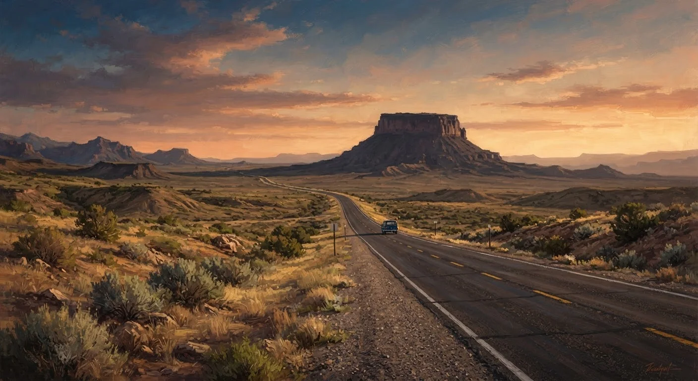
Photo credit: ExploreRoute.net | Travel Made Simple
In this article
The Mojave, Chihuahuan, and Great Basin deserts extend far beyond park boundaries into remote, accessible, and largely unvisited terrain.
Key Takeaways
- The Mojave, Chihuahuan, and Great Basin deserts contain extensive public land well outside national park boundaries.
- Many of the most striking desert drives cross BLM land, state routes, and unpatrolled dirt roads with little to no traffic.
- Proper preparation — fuel, water, communication, and navigation tools — is essential before tackling remote desert roads.
- Desert conditions change dramatically by season; timing your drive matters as much as the route itself.
- Some of the most memorable desert scenery in the US remains largely unvisited by travelers who follow guidebook circuits.
The Desert Beyond the Entrance Station
Most people encounter the American desert in curated doses — through a windshield on the way to Zion, or on a ranger-led walk in Saguaro. But the desert doesn't stop at the park boundary. The Chihuahuan, Mojave, and Great Basin together cover hundreds of millions of acres, and vast stretches of that terrain sit on Bureau of Land Management land, state trust land, or remote county roads that see more tumbleweeds than tourists.
These are the drives worth seeking out. No entrance fee, no shuttle bus queue, no crowd pressing against the overlook railing. Just open road, raw geology, and the particular silence that only a desert can produce. For those new to backcountry desert travel, our guide on desert lodging and extreme-environment preparation covers what to expect before you head deep into arid terrain.
Time Your Desert Drive Wisely
Most of these routes are at their most accessible between October and April. Summer temperatures in lower-elevation Mojave and Sonoran terrain can exceed 110°F, creating genuine safety risks for vehicle breakdowns or on-foot emergencies. Spring wildflower season — typically February through April depending on winter rainfall — turns many of these routes into something extraordinary.
Five Routes That Deserve Your Attention
Mojave Road, California
Running roughly 140 miles across the eastern Mojave from the Nevada border to Afton Canyon, the Mojave Road follows an ancient Native American trade route later used by Spanish missionaries and U.S. Army surveyors. Most of it is unpaved BLM dirt requiring a high-clearance vehicle, but the payoff is unfiltered: volcanic cinder cones, dry lake beds, Joshua tree stands, and almost no one else. The drive bisects the Mojave National Preserve without confining you to the paved corridor most visitors use. Stop at Afton Canyon, sometimes called the Grand Canyon of the Mojave, where the Mojave River briefly surfaces above ground amid dramatic eroded walls.
The Mojave Road traces a trade route 10,000 years old through terrain most travelers never enter.
Guadalupe Mountains Backcountry Loop, Texas
The Guadalupe Mountains National Park draws modest visitation compared to its Texas neighbor Big Bend, but the roads surrounding the park — crossing the Salt Basin and edging into the Chihuahuan Desert flats — are quieter still. The loop using US-62/180 and TX-54 frames the escarpment from multiple angles, revealing the sheer fossil reef face of El Capitan against open desert. The Salt Flats at Lake Lucero lie just northwest, occasionally accessible via guided visit through White Sands National Park. The surrounding terrain is high desert grassland transitioning into creosote scrub — understated and strangely affecting at dusk.
El Capitan's ancient reef face rises from the flats in one of the Chihuahuan Desert's most dramatic silhouettes.
Nevada's State Route 375 and the Quinn Canyon Range
SR-375, officially designated the Extraterrestrial Highway, has a novelty reputation, but the 98-mile stretch between US-93 and US-6 is genuinely extraordinary as a landscape drive. The Quinn Canyon and Grant ranges frame a high Great Basin valley where pronghorn cross the road and the horizon seems impossibly distant. Elevation hovers near 5,000 feet, which means summer temperatures are more forgiving than lower Mojave routes. Side roads toward the Grant Range lead into pinyon-juniper terrain and canyon mouths rarely visited. The desert here is sagebrush and silence — none of the sandstone drama of southern Utah, but an austere beauty that sticks with you. Travelers who respond to wide-open horizontal landscapes will find something familiar here.
At 5,000 feet elevation, SR-375 offers Great Basin solitude with a more forgiving desert climate.
Borrego-Salton Seaway, California
California State Route S-22 descends from the Santa Rosa Mountains into the Borrego Valley and then east toward the Salton Sea through some of the most geologically active desert terrain in North America. The route crosses the San Andreas Fault zone, passes mud volcanoes and colorful badlands, and drops into below-sea-level terrain without the crowd density of Death Valley. The Anza-Borrego Desert State Park flanks much of the drive, but access points lead into BLM land where the scenery — slot canyons, elephant trees, ocotillo forests — rivals anything behind a park entrance station. Best driven between November and March when temperatures are manageable.
S-22 crosses the San Andreas Fault zone through badlands and slot canyons most California road-trippers overlook.
Pinto Creek Road to Roosevelt Lake, Arizona
US-60 east of the Phoenix metro is a known scenic route through the Superstition Wilderness corridor, but drivers who turn off onto Pinto Creek Road and work northeast toward Roosevelt Lake enter an Arizona desert that feels genuinely remote. Saguaro cacti thin out as the elevation climbs into chaparral and palo verde. The drive ends at Theodore Roosevelt Dam and the turquoise reservoir that Apache Trail tourists reach from the other side — but approaching from the east means you likely won't see another car for long stretches. The road conditions here resemble national forest roads more than paved parkways — check with the Tonto National Forest before heading out.
Approaching Roosevelt Lake from the east delivers Sonoran Desert solitude just an hour from the Phoenix metro.
Road Conditions Vary Significantly
Several of these routes cross unpaved or minimally maintained roads. Heavy rain can make desert dirt roads impassable quickly, and washouts may not be repaired promptly in remote areas. Always check current conditions with the relevant BLM field office, state park, or national forest ranger district before departing. A vehicle with good ground clearance is advisable on most of these routes; a two-wheel-drive sedan is not recommended for unpaved segments.
Getting Ready to Go Off the Brochure
These routes share a few things in common: limited services, variable road conditions, and the kind of exposure that rewards preparation. Carry more water than you think you need — a commonly cited minimum for desert driving is one gallon per person per day, plus reserve supply for the vehicle. Let someone know your route and expected return time. Satellite communicators are worth considering on roads where cell service is nonexistent.
The roads listed here are not technically challenging by off-road standards, but conditions can shift with weather, seasonal flooding, or simple neglect. Verify current conditions through the relevant BLM field office or county road department before you go. For those who want to go further still, wilderness areas that rarely appear on any map explores terrain even more removed from the tourist circuit. And if desert solitude has sparked a broader appetite for empty roads, the loneliest roads in the American West is a natural next read.

Author
Road Trip Culture Editorial Team
Road Trip Culture Editorial Team is the collective byline for our editorial team and contributor network. Articles published under this byline or an editorial pen name are researched, written, and reviewed according to our editorial standards for clarity, consistency, and independence before publication.
View all articles →