
The Great Plains Aren't Boring: Underrated Drives Across America's Grasslands
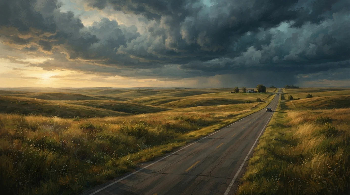
Photo credit: ExploreRoute.net | Travel Made Simple
In this article
Flat doesn't mean featureless. These Great Plains drives cross tallgrass prairies, sandhills, and river breaks most travelers skip.
Key Takeaways
- The Great Plains contain diverse landscapes — sandhills, river breaks, tallgrass prairies — far beyond the 'flat and empty' stereotype.
- Several Plains drives rank among the most ecologically and visually rich routes in the entire country.
- Wildlife density on Plains backroads often rivals that of national parks, especially along river corridors.
- Distances between services on Plains routes can be significant; preparation is essential before heading out.
- The region's vast skies and low light pollution make it exceptional for stargazing from the roadside.
Why Drivers Keep Skipping the Plains (And Why They Shouldn't)
Ask most road trippers what lies between Denver and Chicago, and you'll get a shrug — or worse, a groan. The Great Plains have earned an unfair reputation as flyover country, a region to endure rather than explore. But that reputation belongs to the interstate, not the land itself. Step off I-70 or I-80, and a completely different America opens up.
The Plains stretch across roughly a dozen states, encompassing tallgrass and mixed-grass prairies, ancient river valleys, sculpted sandhills, rugged badlands, and some of the darkest night skies remaining in the Lower 48. The drives that cross this terrain — mostly two-lane state and county roads — carry little traffic and reward patience with a kind of grand, unhurried beauty that the Mountain West and Pacific Coast can't replicate.
For context on how backroad travel transforms any landscape, see our piece on what makes blue highway travel fundamentally different. The same principles apply here with even more force: the Plains reveal themselves only to people willing to slow down.
Myth
The Great Plains are completely flat, making drives visually monotonous.
Fact
Much of the Plains terrain is rolling, broken by river valleys, sandhills, and badland formations that create genuine visual drama.
The 'flat Plains' image comes almost entirely from interstate driving through agricultural areas. Away from the major corridors, the land is far more varied. Nebraska's Sandhills are a dune landscape. South Dakota's Badlands and the Breaks of the Missouri are dramatically eroded. The Flint Hills of Kansas roll continuously for miles. Topographic monotony is a feature of the interstate, not the landscape beneath it.
Myth
There's nothing to see on Plains drives — just corn and wheat for hundreds of miles.
Fact
Prairie byways cross tallgrass ecosystems, ancient river corridors, and wildlife habitats that hold some of the most biodiverse grasslands remaining in North America.
Cropland dominates near the major highways, but designated scenic byways and secondary roads traverse protected prairie, river bottomland, and ranchland that has never been tilled. The Flint Hills tallgrass prairie, for example, has been continuously grazed rather than farmed, preserving a plant community that once covered 170 million acres of the continent. That ecological continuity attracts extraordinary insect, bird, and mammal diversity.
Myth
Plains drives are only worth doing if you're already passing through.
Fact
Several Plains routes are worth planning a dedicated trip around, drawing naturalists, photographers, and history travelers specifically for what this region offers.
The Central Flyway migration corridor, the Tallgrass Prairie National Preserve, the Lewis and Clark National Historic Trail, and the Nebraska Sandhills all attract visitors who travel specifically to reach them. Sandhill crane migration along the Platte River draws tens of thousands of visitors each spring from across the country and internationally — people who come to the Plains, not through them.
Myth
The Great Plains are safe and easy to drive in any season.
Fact
Plains weather can shift rapidly and severely; winter blizzards, spring tornadoes, and summer heat require genuine preparation and situational awareness.
The central Plains sit at the convergence of Arctic, Gulf, and Pacific air masses, producing some of the most volatile weather on Earth. Winter driving conditions can deteriorate within minutes. Spring tornado season is real and not merely atmospheric theater. Services can be 60 or more miles apart on some routes. Drivers should carry water, emergency supplies, and check weather forecasts carefully — and always verify road conditions through state department of transportation resources before departing.
Myth
You need weeks to experience anything meaningful in the Plains.
Fact
Even a two- or three-day loop off a major interstate can expose travelers to prairie, wildlife, and small-town character that completely reframes the region.
The Flint Hills byway can be driven end-to-end in a day, with meaningful stops at the Tallgrass Prairie National Preserve and the town of Council Grove. Nebraska's Highway 2 Sandhills route makes a satisfying two-day drive. These routes are genuinely accessible as short detours or standalone weekend trips — no month-long expedition required.
Routes Worth Planning Your Trip Around
A handful of Plains drives stand out as genuinely unmissable — not as consolation prizes for avoiding the Rockies, but as destinations in their own right.
The Sandhills Journey Scenic Byway (Nebraska): Nebraska Highway 2 crosses 272 miles of grass-stabilized dunes — the largest dune formation in the Western Hemisphere. This route connects Alliance to Grand Island through ranch country so undeveloped it feels like the 19th century held on. Cranes, pronghorn, and occasional mule deer share the road margin. Towns here are small and services genuinely sparse, so fuel up deliberately.
The Flint Hills National Scenic Byway (Kansas): Running along US-177 through the largest remaining tract of tallgrass prairie on Earth, this corridor turns extraordinary in spring when prescribed burns leave the hills streaked black and green. The Tallgrass Prairie National Preserve anchors the route. It is one of the most undervisited national park units in the country.
The Missouri River Road (North Dakota and South Dakota): Following the river's bluffs and bottomlands, this corridor traces the Lewis and Clark route through terrain that remains genuinely wild in stretches. Breaks in the hills reveal sudden, dramatic vistas that catch first-time visitors completely off guard.
For a broader map of similarly overlooked driving regions, our complete guide to hidden scenic drives offers research methods and regional context that translate directly to Plains trip planning.
Services Are Sparse — Plan Accordingly
On routes like Nebraska Highway 2 and parts of the Missouri River Road, towns with fuel and food can be 50 to 80 miles apart. Before leaving any town, top off your tank, carry extra water, and download offline maps — cell coverage is patchy across much of this terrain. Weather can change rapidly; always check a reliable forecast before heading into remote sections.
What the Plains Do Better Than Anywhere Else
Driving the Plains offers experiences that mountains and coasts simply cannot match. Sky volume — that overwhelming sense of atmosphere pressing down on an uninterrupted horizon — is the most immediate. Thunderstorms rolling across a 180-degree vista are among the most cinematic events in American nature, visible from miles away with plenty of time to pull safely off the road and watch.
Light behaves differently here too. Golden hour lasts longer on flat terrain, and the absence of ridgelines means sunrise and sunset color the entire visible world, not just a narrow band above distant peaks. Photographers who discover the Plains often return obsessively.
500,000+
Sandhill cranes along the Platte River each spring
The Central Platte River Valley in Nebraska hosts one of the largest wildlife migrations in North America, typically peaking in March.
4%
Of original tallgrass prairie that remains intact
According to the National Park Service, less than 4% of the tallgrass prairie ecosystem that once covered the central US still exists in a relatively undisturbed state.
19,600 sq mi
Nebraska Sandhills — largest dune formation in the Western Hemisphere
The Nebraska Sandhills cover approximately 19,600 square miles, making them one of the most significant grass-stabilized dune systems on Earth.
Wildlife is the other revelation. The sandhills and river corridors of the central Plains host migratory crane concentrations in the hundreds of thousands each spring, alongside waterfowl, shorebirds, and raptors. Pronghorn — North America's fastest land animal — graze alongside many Plains highways with enough regularity to make sighting them routine. These aren't engineered wildlife-viewing destinations; they're just what happens when habitat remains intact and traffic stays low.
Travelers drawn to authentically uncrowded landscapes will find useful parallels in our coverage of overlooked regions that reward curious travelers. The Plains belong firmly in that company — and are far more accessible by car than most of those destinations.

Author
Road Trip Culture Editorial Team
Road Trip Culture Editorial Team is the collective byline for our editorial team and contributor network. Articles published under this byline or an editorial pen name are researched, written, and reviewed according to our editorial standards for clarity, consistency, and independence before publication.
View all articles →