
The Historic Lincoln Highway: America's First Coast-to-Coast Road
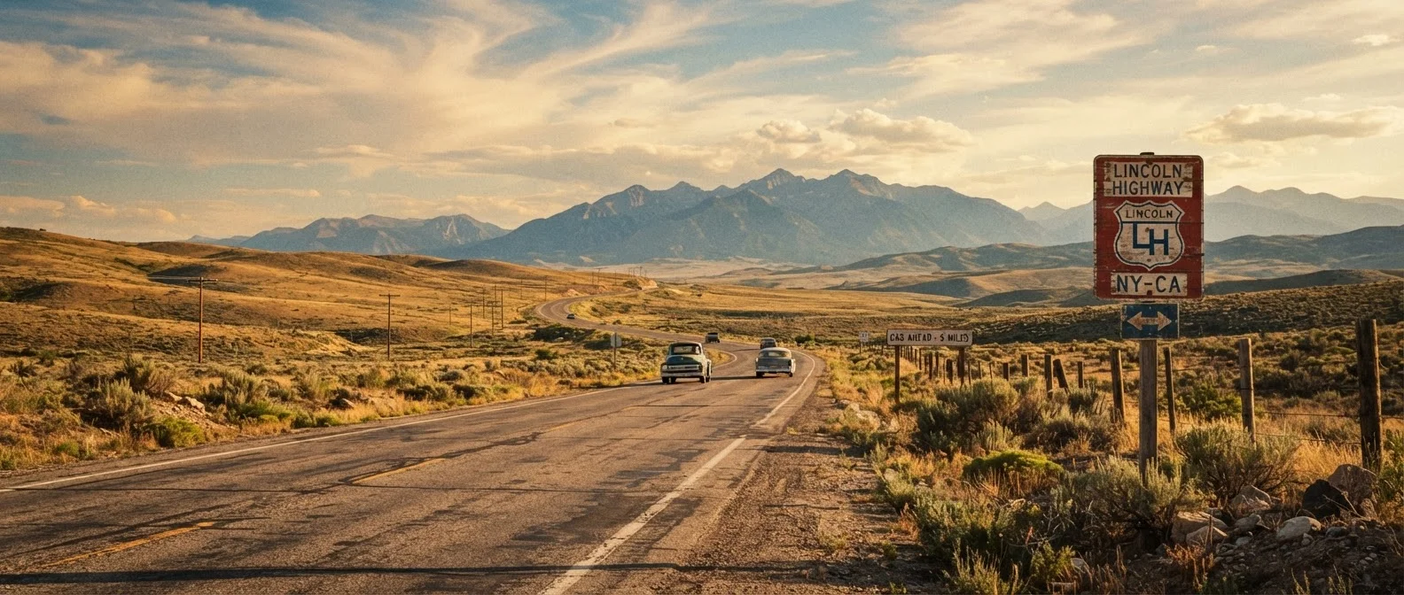
Photo credit: ExploreRoute.net | Travel Made Simple
In this article
Established in 1913, the Lincoln Highway connected New York to San Francisco and shaped how a nation thought about long-distance travel.
Key Takeaways
- The Lincoln Highway, established in 1913, was the first coast-to-coast automobile route in the United States.
- It covered approximately 3,400 miles through 13 states, from New York City to San Francisco.
- The route predated and influenced the development of the U.S. federal numbered highway system.
- Many original Lincoln Highway segments remain drivable today, marked by distinctive red, white, and blue signage.
- The highway shaped American car culture, roadside architecture, and the concept of the road trip itself.
A Nation Ready to Drive
In the early 1900s, American roads were mostly unpaved tracks built for horses and wagons. Automobiles were multiplying rapidly, but the infrastructure to support them barely existed outside cities. Into that gap stepped Carl G. Fisher, an Indianapolis businessman with a bold vision: a continuous, improved road connecting the Atlantic to the Pacific.
The Lincoln Highway Association formally launched the project in 1913, relying on private donations from automakers, tire companies, and civic boosters rather than government funding. Named in honor of Abraham Lincoln, the route was less a fully engineered road and more a mapped corridor — a statement of intent that challenged states and counties to improve their segments. It worked. Within years, communities along the route were paving roads, building hotels, and catering to a new breed of traveler: the automobile tourist.
1913
Year the Lincoln Highway was established
The Lincoln Highway Association launched the route in September 1913, more than a decade before the U.S. numbered highway system existed.
13
States crossed by the Lincoln Highway
The highway connected communities from New York through the Midwest and Mountain West to the Pacific Coast of California.
~3,400
Miles of original coast-to-coast route
Exact mileage varied with realignments over the decades, but the route consistently covered more than 3,300 miles.
The Route and Its Landscape
At its full extent, the Lincoln Highway wound through some of the most varied terrain in North America. Drivers leaving New York crossed the industrial corridors of New Jersey and Pennsylvania before entering the heartland flatlands of Ohio, Indiana, and Iowa. Nebraska's open prairies gave way to the high plains of Wyoming — including a stretch through the Continental Divide — before descending through Utah's desert, crossing Nevada, and finally cresting the Sierra Nevada range into California.
This wasn't a single experience. It was a dozen landscapes stitched together by asphalt and ambition. Small towns along the corridor built entire identities around the highway — diners, garages, motor courts, and souvenir stands that still dot the route today. As you travel these roads, the roadside architecture itself tells the story of American life across more than a century.
How It Shaped American Road Culture
The Lincoln Highway didn't just connect cities — it created a new cultural script for how Americans travel. It popularized the idea of the cross-country drive as an achievable ambition, not a frontier expedition. Families loaded up their cars and ventured beyond their home states for the first time. Road literature, travel journalism, and eventually road-trip mythology all trace roots to this original coast-to-coast corridor.
The federal government took notice. The Lincoln Highway's success helped make the political case for the Federal Aid Highway Act of 1921 and eventually the U.S. numbered highway system established in 1926. Parts of the Lincoln Highway corridor were absorbed into U.S. Routes 30 and 40 — numbers still on maps today. Compare this legacy to the storied history of Route 66, which inherited much of the Lincoln Highway's spirit when it launched in 1926 on a more southern alignment.
“The Lincoln Highway was more than a road. It was proof that Americans could bind a continent together with initiative, concrete, and the shared belief that mobility is a kind of freedom.”
— Drake Hokanson, Author of 'The Lincoln Highway: Main Street Across America'
Driving It Today
Tracing the Lincoln Highway in the modern era is a rewarding exercise in reading the American landscape. The Lincoln Highway Association publishes detailed maps and guides, and distinctive red, white, and blue markers appear at key points across all 13 states. Expect a mix of interstate bypasses and beautifully preserved main streets — places where the original route's character is unmistakable.
Standout segments include the Lincoln Highway's path through Ames, Iowa; its crossing of the Wyoming plains near Rawlins; and the approach to the Bay Area through the Sierra foothills. If you're planning your first long haul, preparation and realistic expectations will go a long way. And if you want contrast after the Lincoln Highway, U.S. Route 50 through Nevada offers a sparse, meditative counterpoint on a corridor that shares some of the same spirit.
Plan Around the Original Alignment
Use the Lincoln Highway Association's official route guides to distinguish between the original 1913 alignment and later realignments. The original segments often pass through town centers and historic main streets rather than bypasses — and that's where the character lives. Allow extra time to explore those stretches rather than rushing to make miles.
Frequently Asked Questions

Author
Road Trip Culture Editorial Team
Road Trip Culture Editorial Team is the collective byline for our editorial team and contributor network. Articles published under this byline or an editorial pen name are researched, written, and reviewed according to our editorial standards for clarity, consistency, and independence before publication.
View all articles →