
Navigation Without Cell Service: The Case for Map and Compass Skills
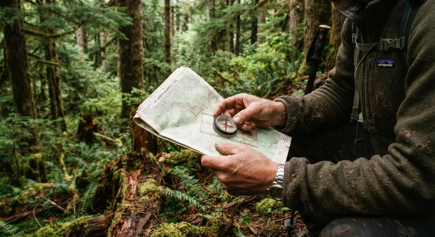
Photo credit: ExploreRoute.net | Travel Made Simple
In this article
GPS devices fail, batteries die, and signals disappear. Here's why traditional navigation skills remain essential for any backcountry adventure.
Key Takeaways
- GPS devices and smartphones are unreliable in dense terrain, canyons, and remote wilderness areas.
- A topographic map and compass work without batteries, signals, or satellite coverage.
- Reading contour lines lets you anticipate terrain — elevation gain, cliffs, water sources — before you encounter them.
- Triangulation with a compass allows you to pinpoint your location using two or more identifiable landmarks.
- Map and compass skills complement, rather than replace, digital tools for any serious backcountry traveler.
Why Technology Alone Isn't Enough
Modern navigation apps are extraordinary tools — but they carry a fundamental vulnerability. They depend on battery life, satellite acquisition, and often cell signal for real-time updates. In a slot canyon in Utah, a dense boreal forest in Montana, or a high alpine cirque where weather moves fast, any of those dependencies can fail simultaneously. When they do, a traveler without traditional navigation skills has no fallback.
This isn't a hypothetical concern. Search-and-rescue teams consistently report that disoriented hikers cite dead devices as a contributing factor in backcountry emergencies. The problem isn't the technology itself — it's the assumption that it will always work.
Paper maps and GPS apps each have real strengths, and experienced travelers use both. The critical difference is that a topographic map and compass are passive tools — they require no power source and have no software to crash. They function equally well in a blizzard, a downpour, or complete darkness (with a headlamp).
~50%
SAR calls involving disorientation or navigation failure
National Park Service data and SAR after-action reports consistently identify navigation failure or disorientation as a factor in roughly half of backcountry search-and-rescue incidents.
20°+
Maximum magnetic declination in parts of North America
USGS magnetic declination maps show that in the Pacific Northwest and Alaska, the difference between magnetic and true north can exceed 20 degrees — enough to cause serious navigational error over distance.
1:24,000
Standard USGS topo map scale for backcountry use
At this scale, one inch on the map represents 2,000 feet of terrain, providing the detail resolution most useful for trail-level and off-trail navigation in US wilderness areas.
Reading the Terrain: What Topographic Maps Tell You
A topographic map is not just a path diagram — it's a three-dimensional portrait of the landscape rendered in two dimensions. Contour lines connect points of equal elevation, and the spacing between them communicates steepness: closely packed lines indicate a sharp climb or cliff; widely spaced lines suggest a gentle slope. Learning to read these patterns transforms how you interpret terrain before you're standing in it.
Key features to identify on a topo map include ridgelines, drainages (valleys and creek beds), saddles (low points between peaks), and benches (flat areas on a hillside). These features are your landmarks in the field. When you learn to match what the map shows to what your eyes see, you develop a reliable mental model of where you are — one that no signal dropout can disrupt.
Declination Matters More Than You Might Expect
Magnetic declination — the angular difference between magnetic north and true north — varies significantly across the United States and changes slightly year to year. The current declination value for your specific destination should be obtained from the USGS National Geomagnetism Program or printed on a current edition topo map. Applying the wrong declination adjustment, or none at all, can introduce navigational error of several hundred feet per mile traveled.
For travelers heading to areas with little public documentation, combining topo map literacy with thorough pre-trip research is essential. See our guide on reaching remote natural sites with minimal trail data for a complementary approach to wilderness preparation.
Core Techniques Every Backcountry Traveler Should Know
Three foundational skills form the core of practical map and compass navigation:
- Orienting the map: Aligning your map to match the physical landscape around you, using the compass to ensure north on the map matches magnetic north in the field (with declination adjustment applied).
- Taking and following a bearing: Setting a compass to point toward your destination, then following that direction across terrain even when the destination is out of sight.
- Triangulation: Identifying two or more recognizable landmarks, taking a bearing to each, and drawing those lines on the map to find the intersection point — your location.
These techniques take real practice to internalize. Spending time in a familiar local park before your first remote trip builds the muscle memory that matters when conditions become challenging. Consider also how relying exclusively on GPS can close off the most rewarding routes — a traveler who can read the land independently makes better decisions on the fly.
Practice Triangulation Before You Need It
On your next clear-weather hike, stop at an open viewpoint and identify two distinct landmarks you can also find on your topo map. Take a bearing to each with your compass, draw the lines on the map, and see how closely their intersection matches where you believe you're standing. This single exercise sharpens all three foundational navigation skills at once and builds confidence faster than any classroom drill.
Building Navigation Confidence Before You Need It
Navigation skill is perishable if it isn't practiced. The goal isn't to abandon digital tools — it's to develop the competence to navigate independently when those tools aren't available. That confidence changes how far you're willing to venture and how safely you can do it.
Start with short day hikes on trails that have corresponding topo maps. Practice identifying terrain features, checking your bearing at trail junctions, and estimating how far you've traveled based on pace and contour lines. Gradually introduce off-trail navigation on clear days before attempting it in challenging conditions.
Road trip planning frameworks offer a useful parallel: the travelers who prepare most thoroughly — accounting for what could go wrong — are consistently the ones who report the most rewarding experiences. The same principle applies to backcountry navigation. Preparation isn't a limitation on adventure; it's what makes genuine adventure possible.
Navigation conditions, trail access, and wilderness regulations vary by location and season. Always verify current conditions with the relevant land management agency before entering backcountry areas, and consult official sources for up-to-date safety guidance.
Frequently Asked Questions

Author
Specialty Travel Editorial Team
Specialty Travel Editorial Team is the collective byline for our editorial team and contributor network. Articles published under this byline or an editorial pen name are researched, written, and reviewed according to our editorial standards for clarity, consistency, and independence before publication.
View all articles →