
Maps as Research Tools: Getting More Than Directions Out of Digital Mapping
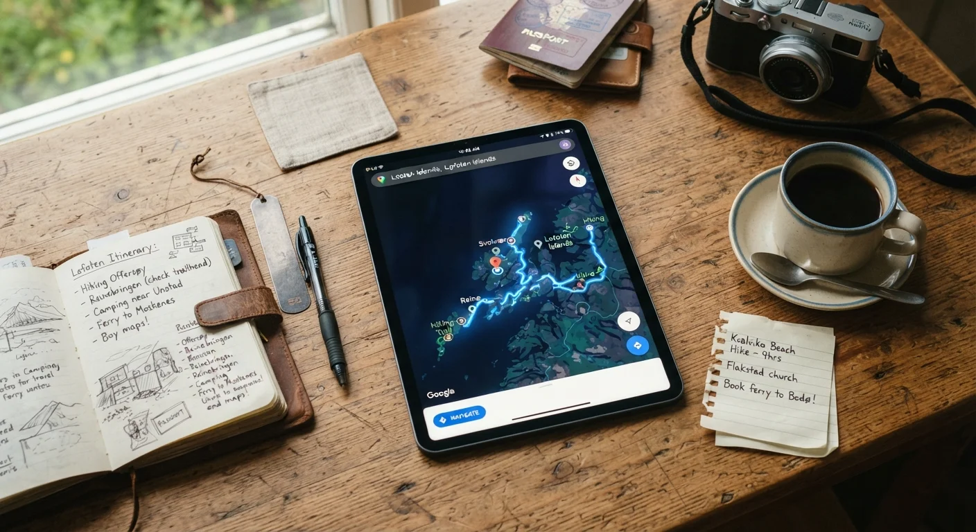
Photo credit: ExploreRoute.net | Travel Made Simple
In this article
From satellite imagery to user-submitted photos, digital maps contain layers of destination insight most travelers never tap into.
Key Takeaways
- Satellite and Street View layers reveal neighborhood character, terrain, and infrastructure before you arrive.
- User-submitted photos and reviews embedded in map pins provide ground-level perspective often absent from travel guides.
- Saved map lists let you build a personal, shareable research database organized by trip.
- Proximity analysis helps identify cluster itineraries that minimize transit time between points of interest.
- Layering transit, terrain, and traffic data gives a realistic picture of in-destination movement.
Why Digital Maps Are Underused Research Platforms
Most travelers open a mapping app to answer one question: how do I get there? But modern digital mapping tools — Google Maps, Apple Maps, and open-source alternatives like OpenStreetMap — are layered research environments that surface neighborhood texture, business density, photo evidence, and transit logistics all in one place.
For the frequent traveler who has exhausted popular guidebooks and curated destination lists, the map is often a more honest source than editorial content. It reflects what's actually at a location, not what a writer visited two years ago. This guide walks through a systematic approach to extracting that intelligence before departure.
For a broader framework on trip research that goes beyond mapping, see The Complete Guide to Researching Any Trip.
Switch to Satellite View First
Before reading a single review, open satellite view over your destination. Look for green coverage (parks, tree canopy, open space), waterfront access, and the density and scale of the built environment. A neighborhood that reads as "quiet and residential" in a blog post looks very different from above when it's actually bordered by a highway interchange or industrial zone. Satellite view grounds your expectations in physical reality before editorial framing shapes them.
Use Street View to Walk the Area Virtually
Drag into Street View at key decision points: your accommodation area, transit stations you'll use, and any attraction entrances that matter for accessibility or crowd management. Pay attention to sidewalk condition, signage language, visible shade cover, and the types of businesses operating at street level. A restaurant district that looks lively on a map pin may reveal narrow sidewalks and no shade on a summer afternoon — details that affect how you'll plan your day.
Mine User-Submitted Photos by Category
On Google Maps pins, photos are often filtered into categories: exterior, interior, food, menu, and "by owner." Skip the owner-submitted images first — focus on visitor photos, which are less curated. Look for images tagged with timestamps or visible seasonal cues. Crowd photos give you a realistic sense of volume; interior shots reveal the actual layout and accessibility of a space. For lesser-known sites, even a handful of visitor photos can confirm whether a place is currently operational.
Build Saved Lists as a Research Database
Create a dedicated saved list for each trip directly in your mapping app. Add every pin you research — not just confirmed stops, but possibilities and eliminations. Label them clearly (e.g., "confirm open," "skip — too far," "backup lunch option"). These lists become a living itinerary map that's shareable with travel companions and accessible offline if you download the area. Organizing by neighborhood rather than category often reveals natural day-trip clusters you wouldn't otherwise notice.
Analyze Transit and Terrain Layers
Switch to the transit layer and trace the routes between your saved pins. Note where public transit coverage thins out — these gaps often correspond to areas where you'll need alternative transport. Check whether a destination is near a transit hub or requires a connection. For destinations involving significant walking or outdoor activity, toggle terrain overlays where available to assess elevation change. A 2-mile walk along a coastal path may include significant grade changes that affect pacing for less mobile travelers.
Applying Map Research to Real Itinerary Problems
Once you've worked through the steps above, map research starts solving concrete planning problems. Proximity clustering — grouping stops within walking distance — is one of the most immediate applications. Rather than planning thematically (all museums on day two), plan geographically: what's within a 15-minute radius of each anchor point? Maps answer this visually in seconds.
Use the 'Nearby' Function Strategically
Most mapping apps allow you to search for a category — cafés, pharmacies, ATMs — centered on any saved pin. Run this search from your accommodation pin before arrival to pre-identify essential services. This is especially useful in less-touristed areas where locating a pharmacy or currency exchange on the fly can cost significant time.
Transit and terrain layers add another dimension. Switching a map to public transit view shows you which neighborhoods are genuinely accessible by metro or bus versus which require a taxi or rental vehicle. Elevation layers, available on hiking-focused tools like Gaia GPS or even standard satellite view, reveal whether a scenic coastal walk is actually a steep coastal climb.
Travelers planning road-based itineraries can combine map research with resources like the Hidden Scenic Drives hub to validate whether a visually appealing route on satellite view translates to a practical drive. For a deeper look at balancing digital and analog planning approaches, the article Digital Tools vs. Paper Planning offers useful perspective. And if you're planning in areas with limited connectivity, reviewing Navigation Without Cell Service is worth your time before relying solely on digital tools.
Map research pairs especially well with open-source data methods covered in Open-Source Intelligence for Travelers, and feeds directly into the transit research process outlined in Researching Transportation Within a Destination.
Map Data Has Limits — Verify Critical Information
Business listings, hours, and even road designations in mapping apps can be outdated or inaccurate. For any stop that's central to your itinerary — an attraction, a transport connection, a specific restaurant — verify directly with the venue or an official source before building your day around it. Map research is a starting point, not a guarantee.

Author
Travel Planning Editorial Team
Travel Planning Editorial Team is the collective byline for our editorial team and contributor network. Articles published under this byline or an editorial pen name are researched, written, and reviewed according to our editorial standards for clarity, consistency, and independence before publication.
View all articles →