
Before You Turn Off the Pavement: A Scenic Drive Preparation Checklist
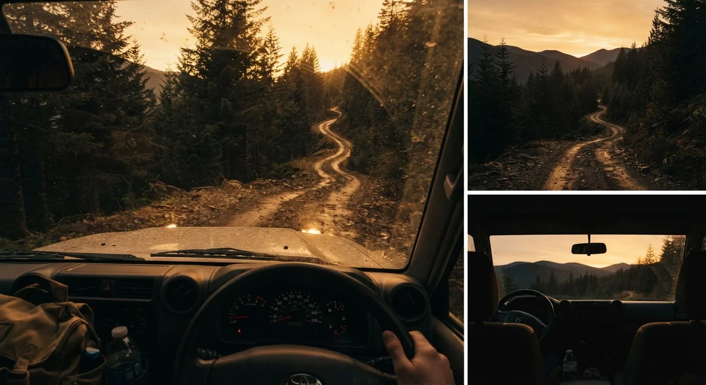
Photo credit: ExploreRoute.net | Travel Made Simple
From fuel range to paper maps, this checklist covers what experienced backroad drivers verify before heading into unfamiliar territory.
Key Takeaways
- Scenic backroads often lack cell service, fuel stops, and emergency assistance — preparation is not optional.
- A paper map or downloaded offline route is as essential as a full tank of gas.
- Your vehicle's clearance and drive type matter far more on unpaved routes than on highways.
- Always leave a detailed trip plan with someone who will notice if you don't check in.
- Seasonal closures and road conditions can change quickly — verify with local sources before departing.
Why Backroad Prep Is a Different Animal
Pointing your wheels down an unmarked county road or a high-desert two-track is one of the great pleasures of American road travel. It's also where casual optimism can get you into genuine trouble. The margin for error shrinks fast when you're 40 miles from the nearest town, the pavement ends, and your GPS loses signal.
This checklist is built for those situations — the turns off Route 66 onto forgotten ranch roads, the Forest Service tracks above treeline, the Gulf Coast barrier island causeways that flood on a rising tide. It assumes you've already chosen your route; if you're still in the planning phase, our guide to planning a hidden scenic drive walks through research tools and routing strategy from the ground up.
Work through each group below before you turn off the pavement. Some items take two minutes; others require a day's lead time. All of them have saved someone a very long walk.
Route Intelligence
Vehicle Readiness
Fuel and Range
Emergency and Safety
Tools That Earn Their Place in the Glovebox
No checklist replaces the right gear, and backroad driving calls for a slightly different kit than a standard highway run. The items below aren't luxury additions — they're the tools that experienced off-pavement drivers reach for when things get unpredictable.
Offline Mapping App (downloaded maps)
Provides turn-by-turn navigation without cell signal — essential once pavement ends and towers disappear.
Paper Topographic or Road Map
A reliable backup when your phone battery dies or app data corrupts in the field.
Satellite Communicator or PLB
Allows two-way messaging or emergency SOS signaling from areas with zero cellular coverage.
Portable Tyre Inflator
Lets you re-inflate a tyre after a slow puncture or after airing down for soft terrain, without needing roadside assistance.
High-Lumen Flashlight or Headlamp
Useful for vehicle inspections, night-time signaling, or navigating camp when darkness arrives faster than expected in canyon country.
Recovery Traction Boards
Provide grip to extract a stuck vehicle from sand, mud, or snow without requiring a second vehicle.
For a broader look at what to pack across the whole trip, our road trip packing list covers comfort and safety gear without tipping into overload. And if you want to sharpen your vehicle-specific prep, vehicle checks worth doing before any long drive is a methodical pre-departure walkthrough covering tyres, fluids, brakes, and lights.
Conditions Change Without Warning
Flash floods, wildfire closures, and washed-out creek crossings can make a road impassable in hours. Always check conditions within 48 hours of your planned departure, not just when you book the trip. If local rangers or agency staff advise against travel on a specific road, take that guidance seriously — they have eyes on conditions that no map or app can capture.
If you're venturing into areas with no trail markers or ranger presence at all, the companion pre-trip checklist for unmarked natural areas adds another layer of backcountry-specific preparation worth reviewing alongside this one.
Tell Someone Exactly Where You're Going
This single step has saved lives. A trip plan left with a trusted contact — including your route, planned campsites or stops, and the time you'll call to confirm you're out — gives emergency responders a starting point if you don't return. A general 'I'm heading somewhere in Utah' is not a trip plan. Be specific about your route, your vehicle description, and your check-in window.

Author
Road Trip Culture Editorial Team
Road Trip Culture Editorial Team is the collective byline for our editorial team and contributor network. Articles published under this byline or an editorial pen name are researched, written, and reviewed according to our editorial standards for clarity, consistency, and independence before publication.
View all articles →