
Driving the Oregon Trail Route Today: History Along the Modern Highway
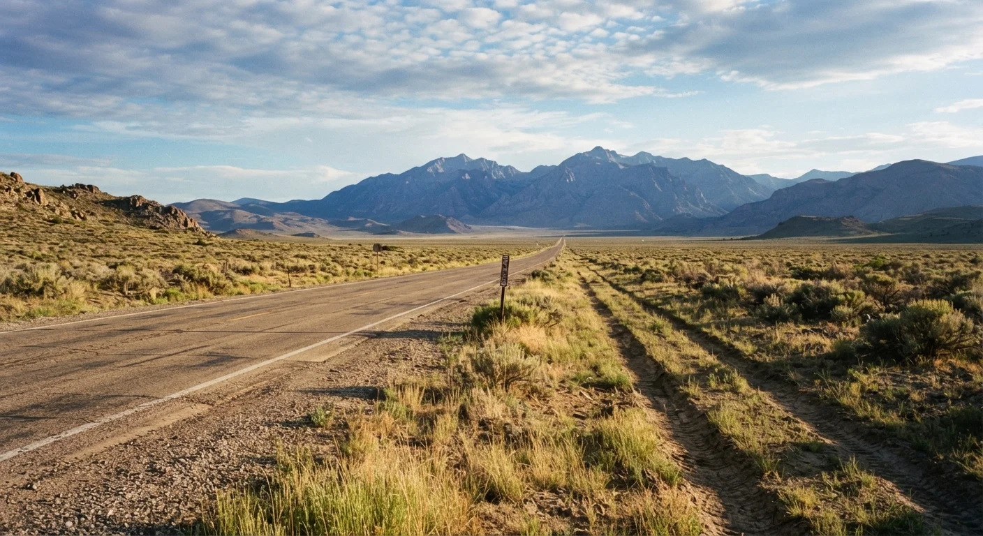
Photo credit: ExploreRoute.net | Travel Made Simple
In this article
Segments of the Oregon Trail are still traceable by car. Here's how to follow pioneer history across the American West.
Key Takeaways
- The Oregon Trail spans roughly 2,000 miles from Missouri to Oregon's Willamette Valley, much of it traceable today.
- Modern highways — particularly I-80, US-26, and US-30 — closely follow the original trail corridor.
- Physical wagon ruts, interpretive centers, and National Historic Site markers are accessible along the route.
- Planning in segments by state makes the full journey manageable and historically rewarding.
- Visitors should verify site hours and road conditions before departing.
Why the Oregon Trail Still Matters on the Road
Between roughly 1840 and 1869, an estimated 400,000 emigrants packed their belongings into wagons and set out on a 2,000-mile journey from the Missouri River to the fertile Willamette Valley of Oregon. The trail they wore into the earth became one of the most consequential migration routes in American history — and a surprising amount of it is still visible and visitable today.
Unlike Route 66, which was engineered as a modern road, the Oregon Trail was a living path shaped by geography, water sources, and necessity. That's precisely what makes retracing it by car so compelling: modern highways were often built along the same river valleys and mountain corridors the emigrants depended on. When you drive I-80 through Nebraska or US-26 across Wyoming, you're following a logic that was established nearly two centuries ago.
Reading the roadside becomes a genuine historical skill on this route — knowing what to look for transforms an ordinary interstate stretch into a landscape full of meaning.
Break the Drive Into Manageable Segments
Few people drive all 2,000 miles in a single trip. Consider planning a state-by-state itinerary across multiple trips or focusing on one high-density segment — Wyoming alone contains some of the trail's most dramatic physical evidence. Each section stands on its own as a rewarding road trip.
Tools and Resources You'll Need
Before you hit the road, assemble a working toolkit — both physical and digital. This journey rewards preparation.
What you will need
NPS Oregon National Historic Trail Map
Provides official waypoint locations, interpretive site listings, and ranger district contacts along the full corridor.
Oregon Trail Visitor Center Network (e.g., National Frontier Trails Museum, Scotts Bluff NM, NHOTIC)
Anchor interpretive stops where exhibits contextualize the physical landscape you're driving through.
Offline mapping app (downloaded regional maps)
Cell service is unreliable across Wyoming and eastern Oregon; downloaded maps prevent navigation blackouts.
Paper campground directory or reservation platform account
Many trail-corridor towns are small; confirmed lodging prevents being stranded in unfamiliar territory.
Binoculars
Useful for spotting distant rut formations and reading roadside markers from pull-off areas.
Regional history guidebook (e.g., literature from Oregon-California Trails Association)
Provides mile-by-mile narrative context that highway signs alone cannot supply.
Following the Trail Step by Step
The route described here runs west from Independence, Missouri, to Oregon City, Oregon — the direction emigrants traveled. You can drive it in full or pick up any segment that suits your schedule. Either way, the landmarks and interpretive sites described in each step can anchor your experience.
Begin at Independence, Missouri — the Trail's Eastern Anchor
Independence, Missouri, is the traditional jumping-off point for the emigrant trail. Start at the National Frontier Trails Museum, which houses original diaries, artifacts, and trail maps. From there, head west on US-40 toward the Kansas border, where early trail segments paralleled the Kansas River valley.
Cross Nebraska Along the Platte River Corridor
The Platte River was the trail's lifeline through Nebraska. Follow I-80 west from Omaha — the highway tracks the Platte Valley closely. Stop at Chimney Rock National Historic Site near Bayard: this distinctive spire was the most frequently mentioned landmark in emigrant journals. Continue to Scotts Bluff National Monument, where you can walk a short trail to actual wagon ruts preserved in the bluffs.
Navigate Wyoming's High Desert and South Pass
Entering Wyoming, pick up US-26 west toward Casper, then continue on WY-220 toward Independence Rock — a massive granite dome where thousands of emigrants carved their names. From there, head southwest toward South Pass, the broad, gentle saddle in the Wind River Range that made wagon crossings of the Continental Divide possible. The South Pass City State Historic Site offers additional context on this pivotal geography.
Cross Idaho via Fort Hall and the Snake River Plain
Drop into Idaho and follow I-84 west through the Snake River Plain. The Fort Hall Replica near Pocatello marks where the trail split — some emigrants veered toward California, others continued to Oregon. Further west near Twin Falls, the Thousand Springs Scenic Byway along the Snake River Canyon runs through terrain the emigrants described vividly. Stop at Three Island Crossing State Park near Glenns Ferry, where wagons forded the Snake River — one of the journey's most dangerous moments.
Descend into Oregon and Reach the Willamette Valley
Cross into Oregon and follow US-30 and I-84 through the Blue Mountains — an elevation gain the emigrants dreaded after months of flat terrain. Stop at the National Historic Oregon Trail Interpretive Center near Baker City, which sits atop Flagstaff Hill and overlooks visible wagon ruts below. From there, descend through the Columbia River Gorge and finish at Oregon City, the official western terminus of the trail, where the End of the Oregon Trail Interpretive Center marks the journey's conclusion.
Check Conditions Before Heading Out
Several trail-adjacent roads and state parks — particularly in Wyoming and the Oregon Blue Mountains — can be affected by snow as late as May and as early as September. Always verify current road and site conditions with the relevant state DOT and NPS ranger districts before departing. Do not rely solely on navigation apps for road status in remote areas.
Making the Most of Your Journey
Driving the Oregon Trail corridor isn't a single-speed experience. Some stretches reward slow exploration — dirt pullouts, short hikes to rut sites, long pauses at interpretive panels. Others, like the flat Nebraska panhandle, can be covered efficiently while listening to podcasts or audiobooks about westward expansion.
If you're curious how this route stacks up against other iconic American drives, comparing the Pacific Coast Highway and Route 66 offers useful perspective on how different a landscape-driven historical drive feels from a highway built for its own sake. For those who want to extend into genuinely desolate territory, the loneliest roads of the American West connect naturally to the Oregon Trail's high desert segments through Idaho and eastern Oregon.
However you structure your trip, keep a flexible mindset. Road closures, seasonal site hours, and weather in mountain passes can all shift your itinerary. That kind of improvisation, it turns out, was something the emigrants understood well too.

Author
Road Trip Culture Editorial Team
Road Trip Culture Editorial Team is the collective byline for our editorial team and contributor network. Articles published under this byline or an editorial pen name are researched, written, and reviewed according to our editorial standards for clarity, consistency, and independence before publication.
View all articles →